


ウィンステアに着いたら何を見て、どんな経験をしようか迷いますよね。エクスペディアではウィンステアで人気の現地オプショナルツアーをご案内。お得な価格で、思い出に残る体験を。空港送迎や観光バス・美術館や博物館への入場券などウィンステアの現地オプショナルツアーをエクスペディアで予約。
ウィンステアのオプショナルツアー
アクティビティ、観光スポット、ツアー
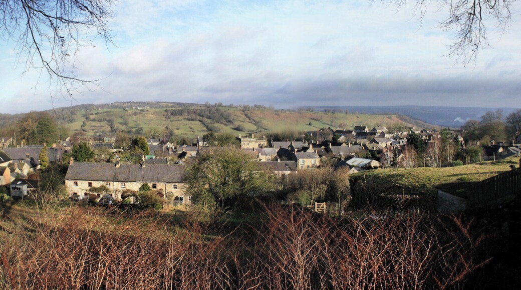
ウィンステアへの旅行
ウィンステアの現地オプショナルツアー
現地ツアー
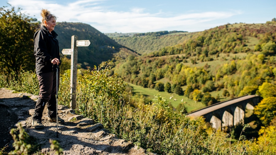
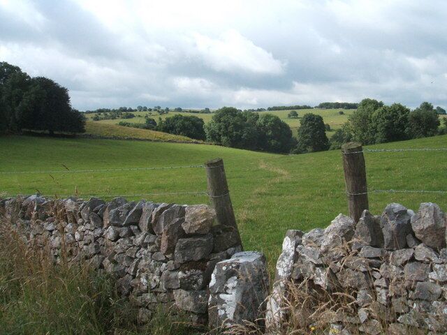
のどかなイングランドマンチェスターからダービーシャー&ピ��ークディストリクト
¥15,890
大人 1 名あたり
90% の旅行者がおすすめしています

ロスト・イン・ビューティマンチェスターからのチャッツワース&ピークデ��ィストリクト
¥25,624
大人 1 名あたり
 現地ツアーをチェック現地ツアーやアトラクションから日帰りツアーや送迎まで、何千もの体験を検索できます。
 簡単に予約行列に並ばず、人気のアトラクションのチケットを数分でオンライン予約できます。また、多くの現地ツアーでキャンセル料が無料となっています。
 もっとお得に旅へ会員の方は、現地ツアーを予約する際に % 以上お得になります。


